FREE / NO SIGNUP
Get a useful answer now.
Grade, slope, trench, stockpile and hauling calculations with inputs and assumptions you can check. Download a result sheet or share the numbers.
Choose a free calculator
DRIFTLESS SOLUTIONS / FIELD & OFFICE
Check grades, compare earthwork estimates and turn field records into reports your client can follow. Free calculators, a private job workspace and custom tools for small crews and businesses.
Free tools need no signup. The private workspace is free during early access, with no card and no charge. If it gets steady use, any move to paid plans will be announced here ahead of time.
Veteran owned & operated 20+ years in the field
SMALL CREW. PROFESSIONAL WORK.
See survey and design surfaces in 3D, road cross-sections and branded reports in this 63-second introduction.
PRACTICAL HELP FOR SMALL CONSTRUCTION CREWS
FREE / NO SIGNUP
Grade, slope, trench, stockpile and hauling calculations with inputs and assumptions you can check. Download a result sheet or share the numbers.
Choose a free calculatorPRIVATE WORKSPACE / FREE EARLY ACCESS
Keep field readings, CSV and LandXML surfaces, photos and crew records with the job. Review coverage and changed inputs, compare estimates and prepare reports with your company logo.
Start free early accessCUSTOM WORK / SCOPED SEPARATELY
Show us a spreadsheet, report or repetitive task. Share an example privately, review a proposal and receive your finished files online. Scope and price are agreed before work begins.
Request a custom toolWHERE DRIFTLESS FITS
Keep the measurements, assumptions and report together. Collect work on your phone, save the job, then review it on your office computer with the same account or an invited teammate.
Use Driftless alongside your survey or CAD software. Bring in supported CSV or LandXML files and turn a small work area into an estimate you can explain.
See the workflow and sample reportReview linked readings and saved results after a setup correction or a design change. Issued reports keep their original contents.
How source review worksMap uncovered parts of the work boundary and triangles exceeding your chosen span. Save your field notes with the review for the office.
Explore surface review mapsCompare a different base elevation, stockpile density or allowance with the original estimate. Enter rates to see the price change alongside the quantity change.
Compare estimate assumptionsSTART WITH THE JOB IN FRONT OF YOU
Calculate, check the assumptions, then download a PDF or share the result. Prepare the calculators online before using them without signal.
Check numeric notation, duplicate points and blank elevations on your device. Choose decimal conventions, metres or feet explicitly.
Your file stays on this device 01 / ELEVATIONTurn benchmark and rod readings into an elevation. Check cut, fill and tolerance.
Benchmark → field reading 02 / SLOPERead the same rise and run as a percentage, horizontal-to-vertical ratio or angle.
Rise + run → grade 03 / EARTHWORKCalculate vertical, sloped or benched trenches with pipe displacement, bedding, backfill and hauling quantities.
Dimensions → cubic yards 04 / STOCKPILESChoose a pile shape, calculate loose yards and check hauling, allowance and cost.
Pile dimensions → estimate 05 / HAULINGCompare truck volume and payload capacity to estimate the number of trips.
Volume + capacity → trips 06 / PAD ESTIMATESEstimate average-depth cut or fill, with your planning allowance shown separately.
Area + depth → estimate 07 / SURVEY UNITSConvert US survey feet, international feet and metres while keeping the source reference clear.
Known units → converted value 08 / PIPECarry a known invert down a constant grade and check every station.
Invert + grade → station table 09 / ROADSPick a Wisconsin or Minnesota county to see state highway restriction status and who posts the county roads.
State + county → restrictionsTAKE THE NEXT READING. KEEP THE LAST ONE.
Keep shared jobs, field readings, report photos and crew hours together. The private workspace uses email sign-in and approved pilot access, on your phone or computer.
Open the private workspace ↗Share jobs with invited field users and office managers. Reuse company and crew defaults, plan shifts and review actual hours by person.
Open jobs & crew ↗Build from CSV or LandXML, review coverage, check design grades and measure cut/fill. Compare assumptions before exporting a scaled estimate. Export reviewed points and surface triangles to DXF for CAD.
See the workflow & sample report ↗Keep a daily log of crews, work, deliveries and site conditions. Prepare branded daily PDFs, scaled plan sheets and calculation exports. Saved job reports preserve the version you issued. Editing needs early access, which is free for now.
Create a daily report ↗ · Plans & access ↗Mark up PDFs, review scanned point tables and ticket text, compare deliveries with quantities, and save 3D views in reports.
Explore the full workspace ↗Private-workspace jobs are saved to the cloud when you choose Save to job. Existing local Field jobs remain in their original browser; download a backup there to import them.
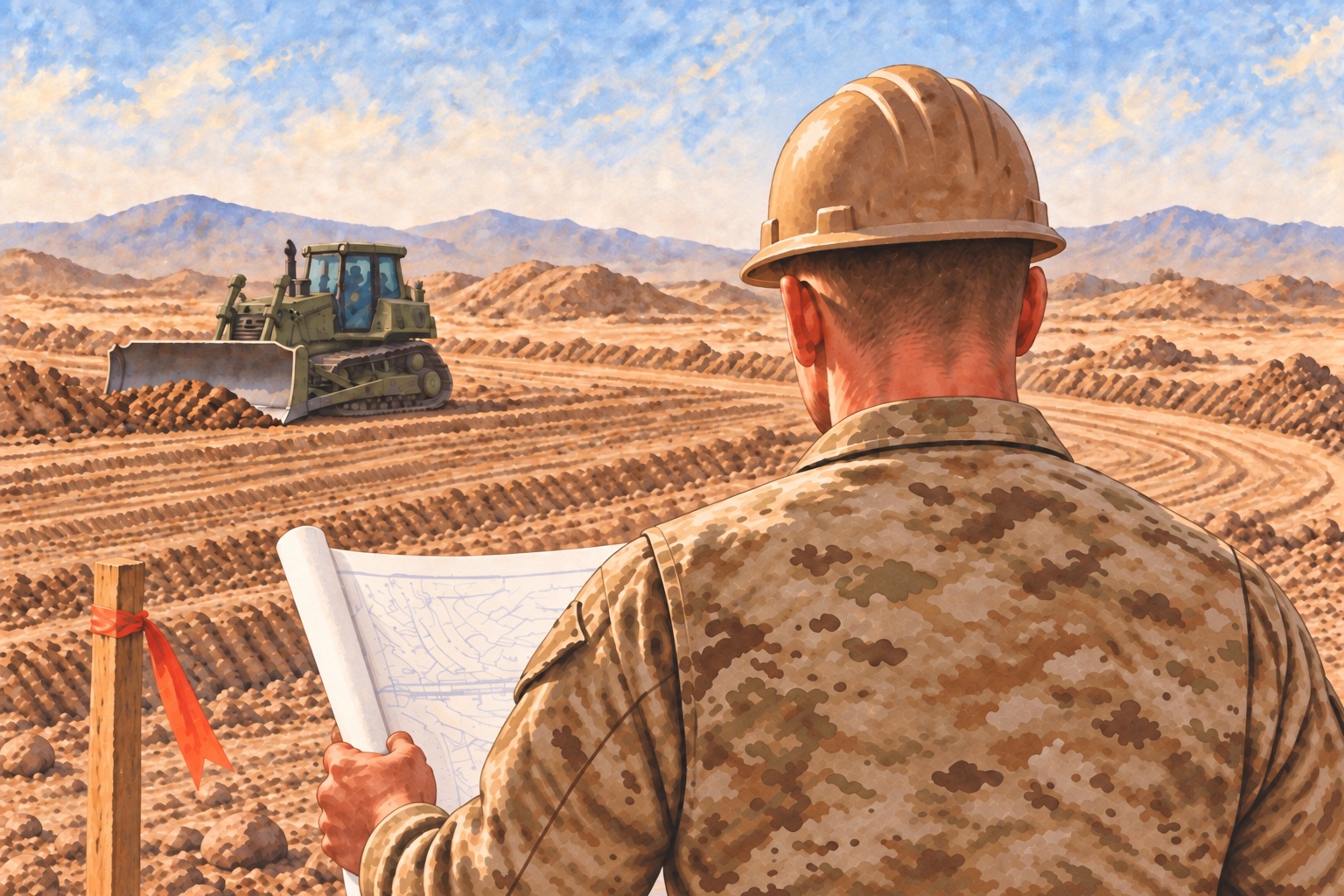
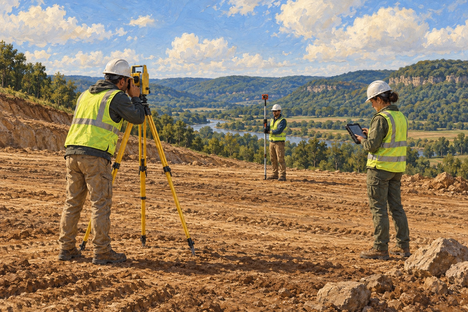
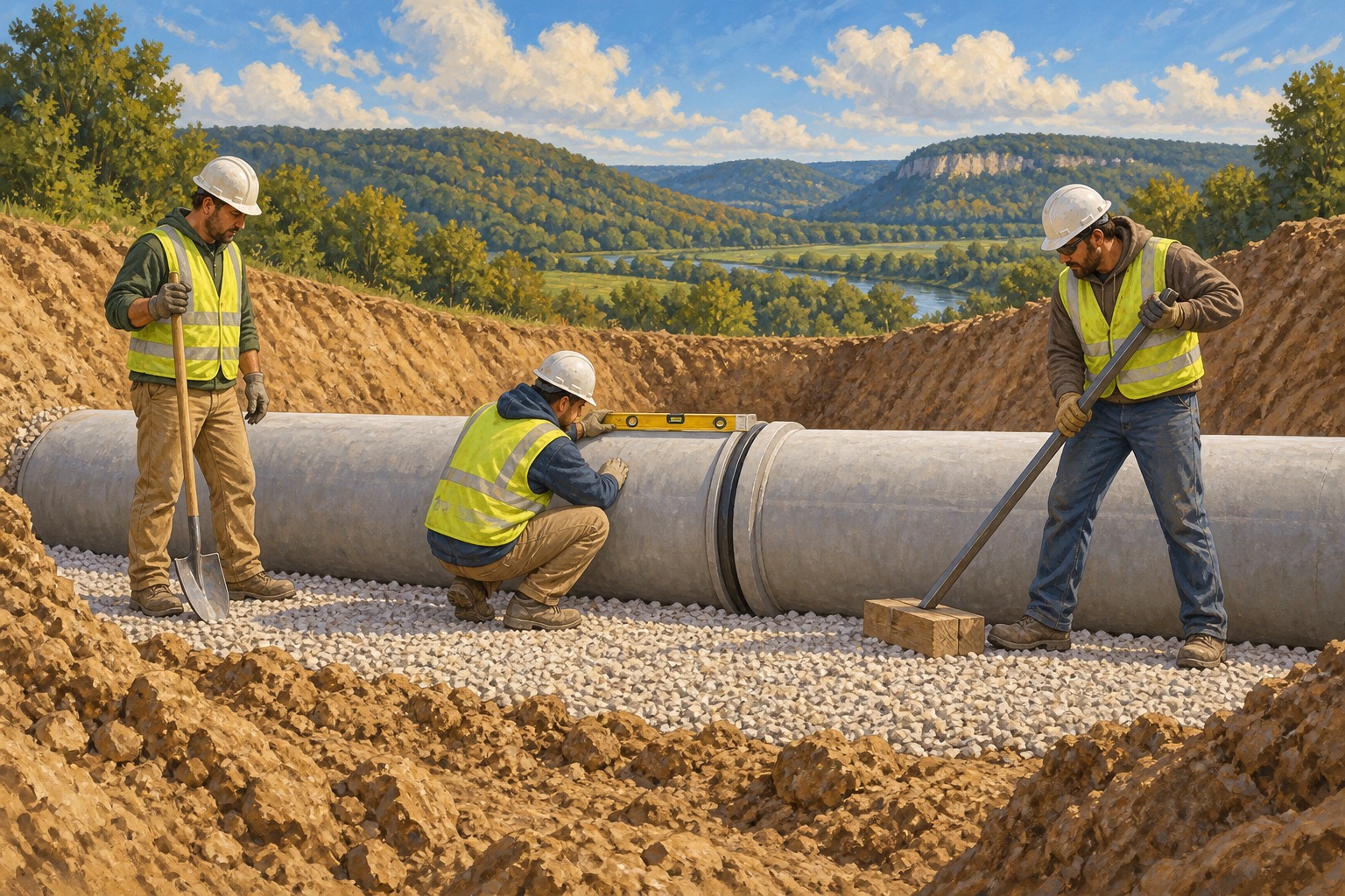
Illustrations inspired by field work and military service. People, places and scenes are intentionally generalized.
VETERAN OWNED & OPERATED
I’m Jesse, a family man and Army veteran with three deployments to the Middle East. With over 20 years of field experience, I know how frustrating a simple job can become when the tools get in the way.
Driftless Solutions comes from that experience. I’m building straightforward tools for the calculations, measurements and paperwork that small construction crews deal with every day.
The aim is simple: less time fighting software, more confidence in the work, and a little more time for the people waiting at home.
Jesse Founder, Driftless Solutions
CUSTOM TOOLS & PRACTICAL HELP
A report your client asks for every Friday. Job notes and photos that need organizing. A spreadsheet that makes you enter the same details twice. Tell Jesse what you start with and what you need to hand over. Based in the Coulee Region, with requests and delivery handled online.
Requests, examples, questions and finished files stay in your private account. Custom work is reviewed individually; scope, timing, price and terms are agreed before work begins.
Email opens a draft to support@driftlesssolutions.us. You review and send it.